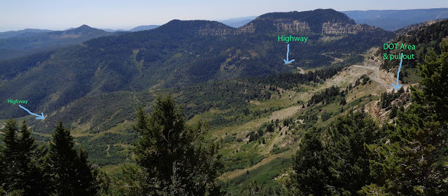
An administrator once told me the BLM had, years ago, created a committee to study "Regional Haze."
Outside the museum at the South Rim of Grand Canyon (on the walkway to the left of the entrance) there's an info board that puts some of the blame for visual occlusion on particulates from China. Getting ever worse since the early 1970s, it's now so bad it's hardly worth going to the place though sometimes in January, after a storm, the air clears and the views, though nothing like in the '60s, are better.
Though the museum's placard attributes the haze to smog, it covers the entire Southwest; it's common in Ajo, Arizona which is 337 miles (542 km) south and in the middle of the Sonoran desert. But Ajo is also just down the street from Gila Bend. On most days the air in Gila Bend is so saturated with the reek of nitrogen fertilizer it's unbreathable. Drawing from the Gila River, the area is, for nearly twenty miles east and west and for nearly half that distance north and south, subjected to intense agricultural use.
San Simon, on Interstate 10 about 12 miles west of the New Mexico border, has thousands of acres covered by pecan trees. Served mostly by subsurface irrigation, you can sometimes see HUGE amounts of water pouring from outlets into canals. The trees send it into the atmosphere at a rate that surely has inspired a few Ph.D.s (citation needed).
I'll not bother to mention the California Valley or the pecan and chili orchards in southern New Mexico. Let ALONE all the hay production throughout the southwest that revolves around livestock.
And the skiiiiiiiiies are CLOUDY all daayyyyyyyyy. (Remember the song: Home On the Range?)


